 DUMLUPINAR
 TR
 EN
 DE
Where the Spirit of Victory Lives On: Dumlupınar Guide
Dumlupınar district of Kütahya: history, geography, how to get there and places to visit
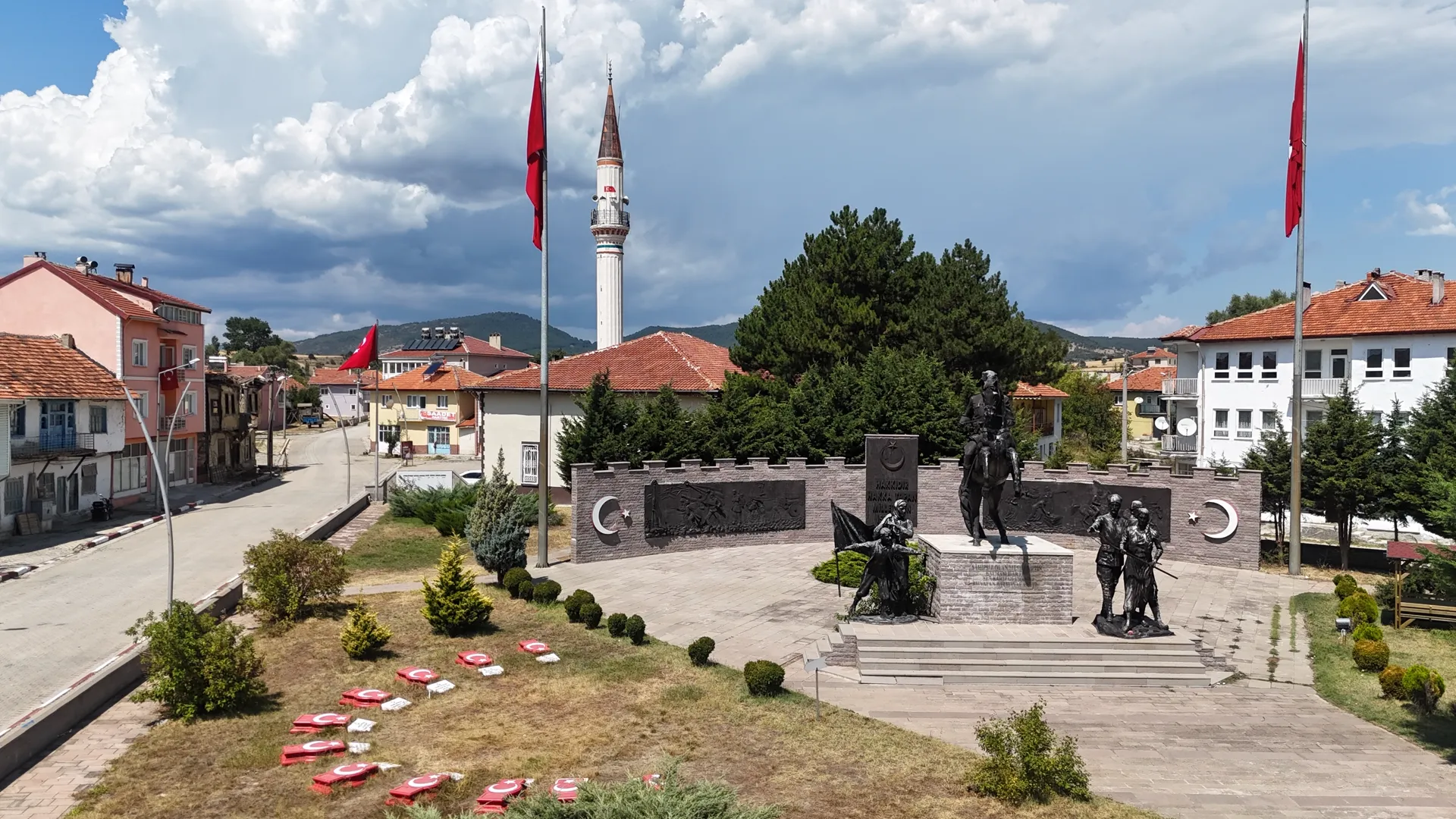
About Dumlupınar
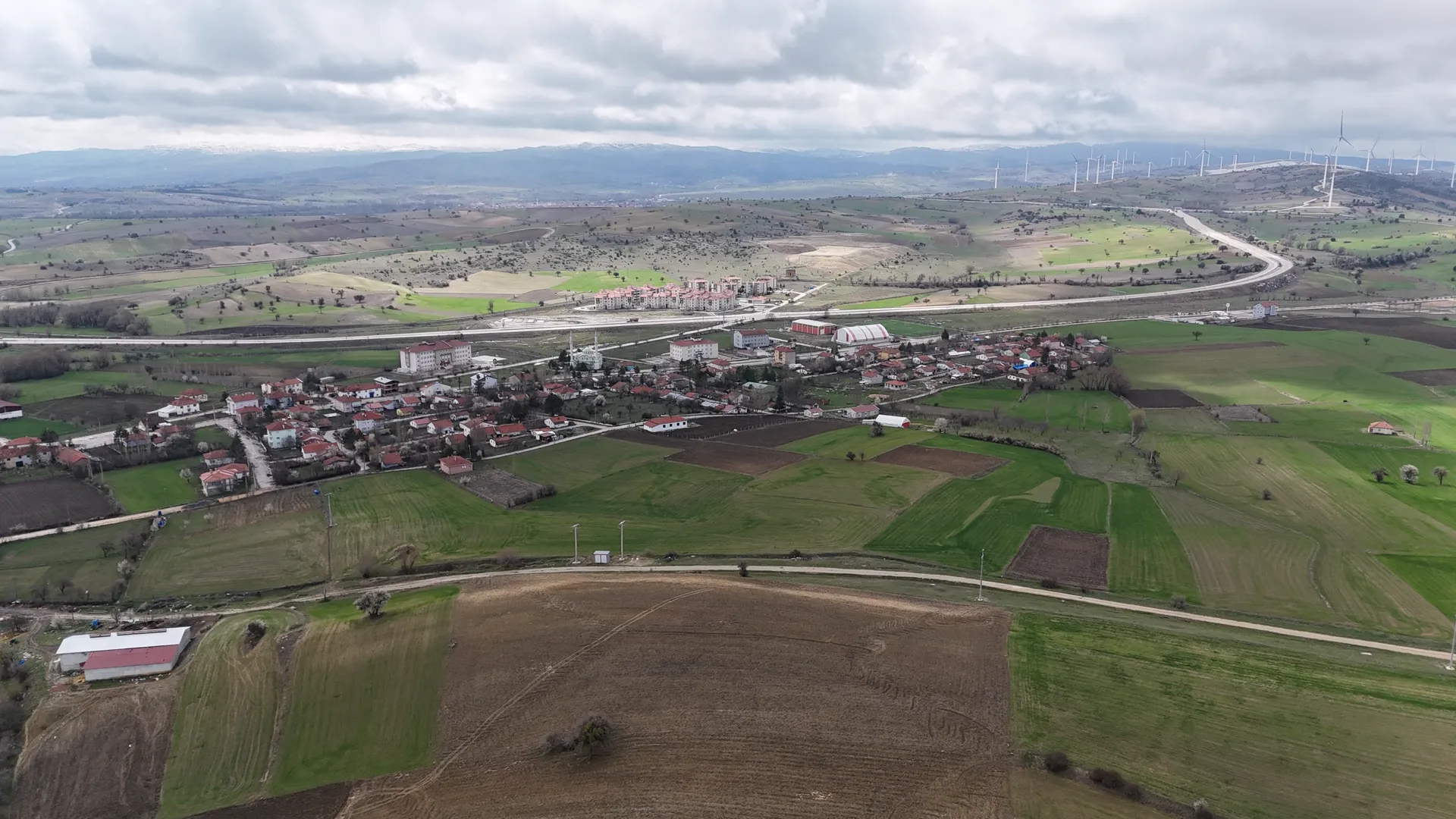
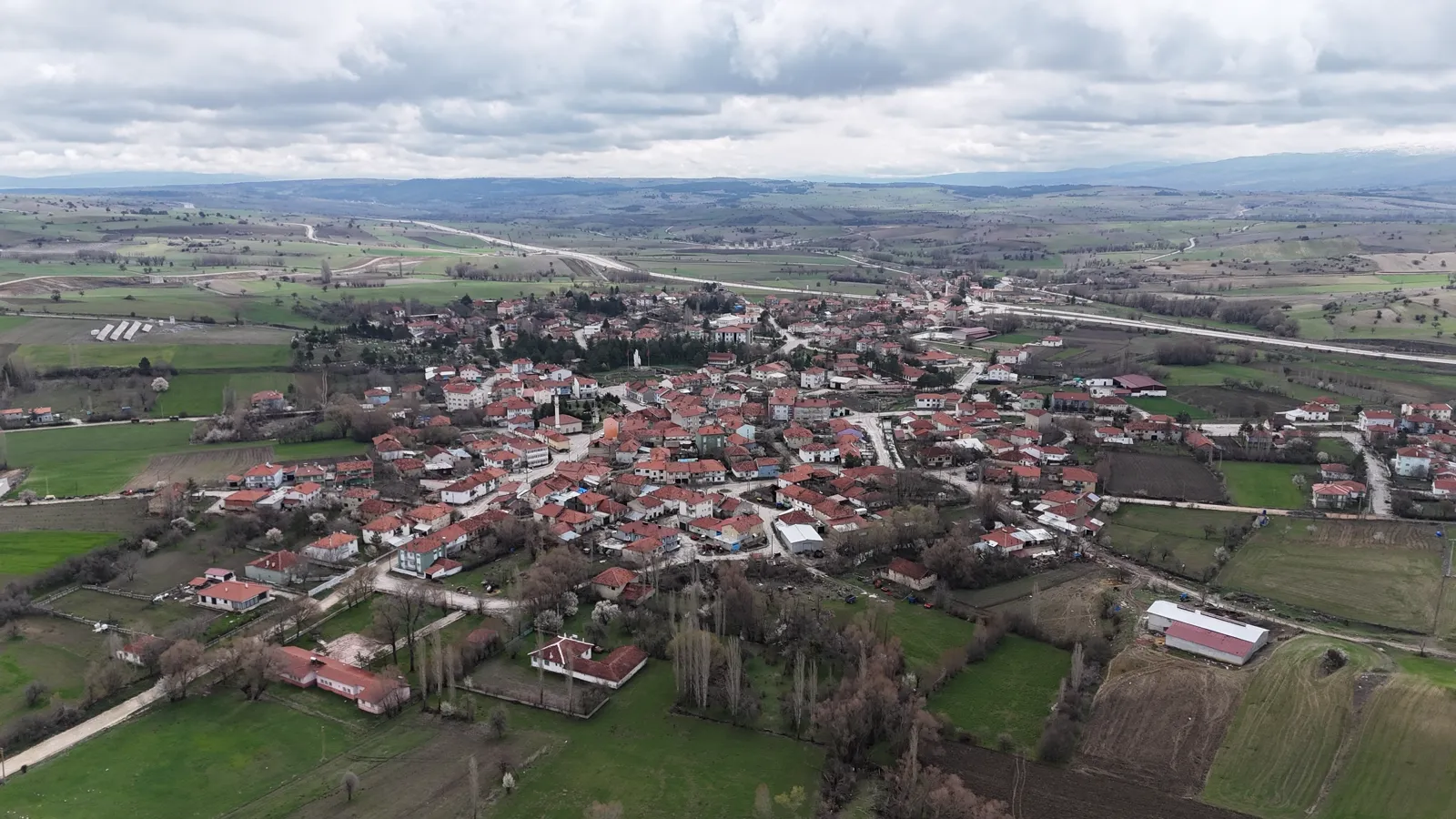
Dumlupınar is a district in the south of Kütahya Province, set on a plateau along the Afyonkarahisar-Uşak-İzmir highway and railway. The Great Offensive, which began at Kocatepe on 26 August 1922, ended in victory with the Battle of the Commander-in-Chief, won at Dumlupınar on 30 August. Today the district lies within the Commander-in-Chief Historical National Park and is visited for its memorials, monuments and museums.
History
Dumlupınar is known for the Battle of the Commander-in-Chief, won here on 30 August 1922. The battle, led in person by Mustafa Kemal Pasha, decided the outcome of the Turkish War of Independence. On 1 September 1922 he gave the order "Armies, your first objective is the Mediterranean. Forward!" in Dumlupınar. 30 August is celebrated every year as Victory Day.
Dumlupınar at a Glance
Geography
The town centre lies at about 1,230 metres above sea level. The district covers 250 square kilometres. The town is surrounded by Mount Murat and Mount Ahır.
Population
According to Turkish Statistical Institute (TÜİK) data, the district had a population of 2,854 at the end of 2022. It has one municipality and ten villages: Ağaçköy, Allıören, Arpalı, Büyükaslıhanlar, Eydemir, Hamur, Kızılca, Küçükaslıhanlar, Selkisaray and Yüylük.
Getting Here
Dumlupınar is about 80 kilometres by road from Kütahya city centre; the journey takes about an hour. It is 59 kilometres from Uşak and 58 kilometres from Afyonkarahisar.
Places to Visit
Memorials, monuments and museums you can visit in Dumlupınar.
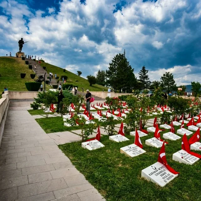
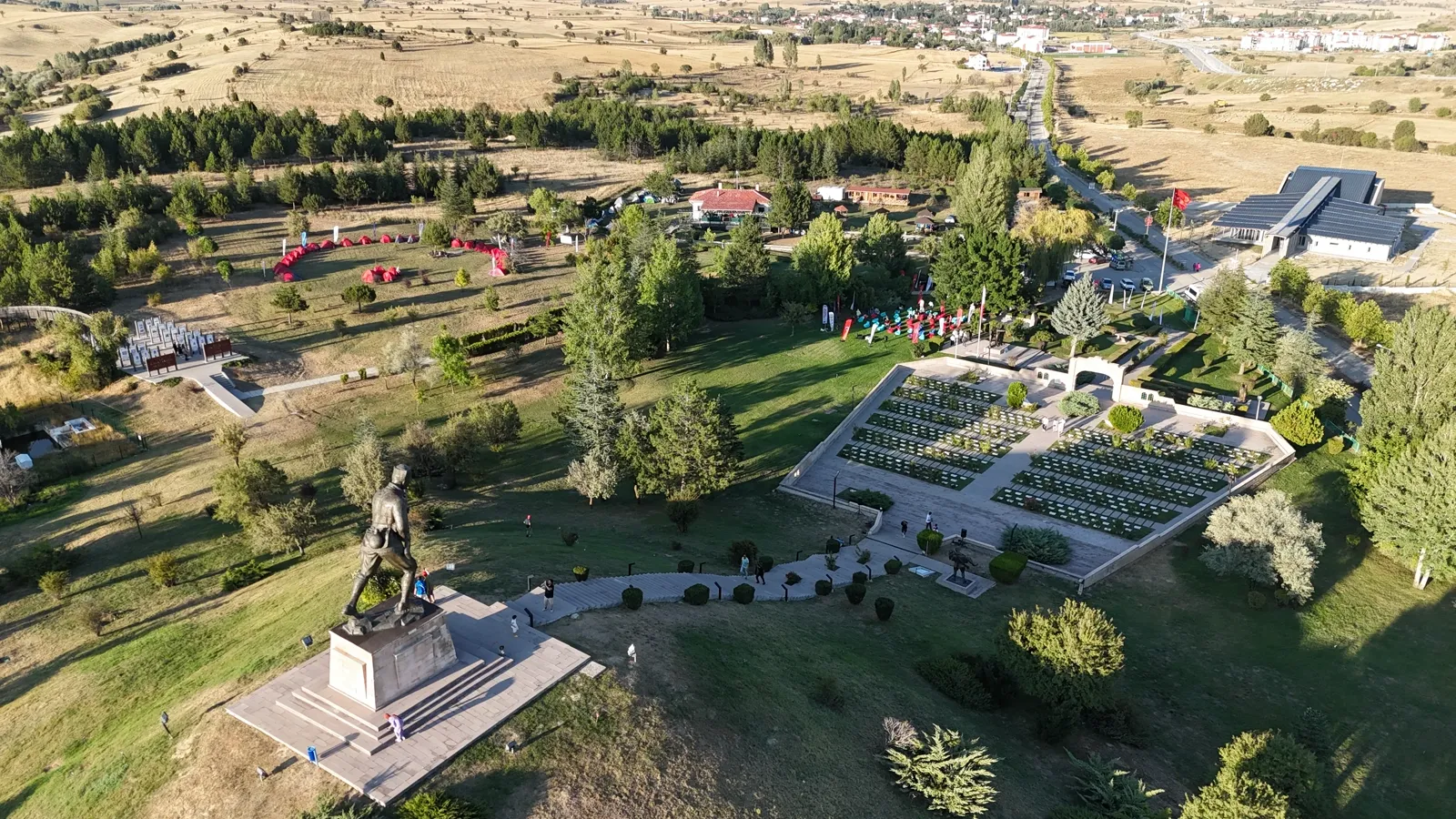 HERITAGEDumlupınar Martyrs' MemorialA memorial cemetery for the martyrs of the War of Independence, opened on 30 August 1992.
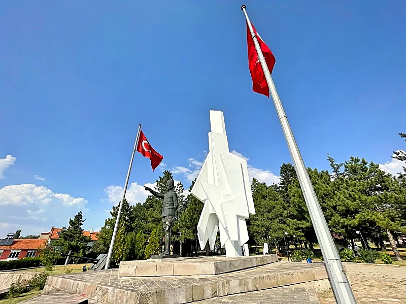 MONUMENTFirst Objective MonumentA monument opened in 1972 where Mustafa Kemal Pasha ordered: "Armies, your first objective is the Mediterranean. Forward!"
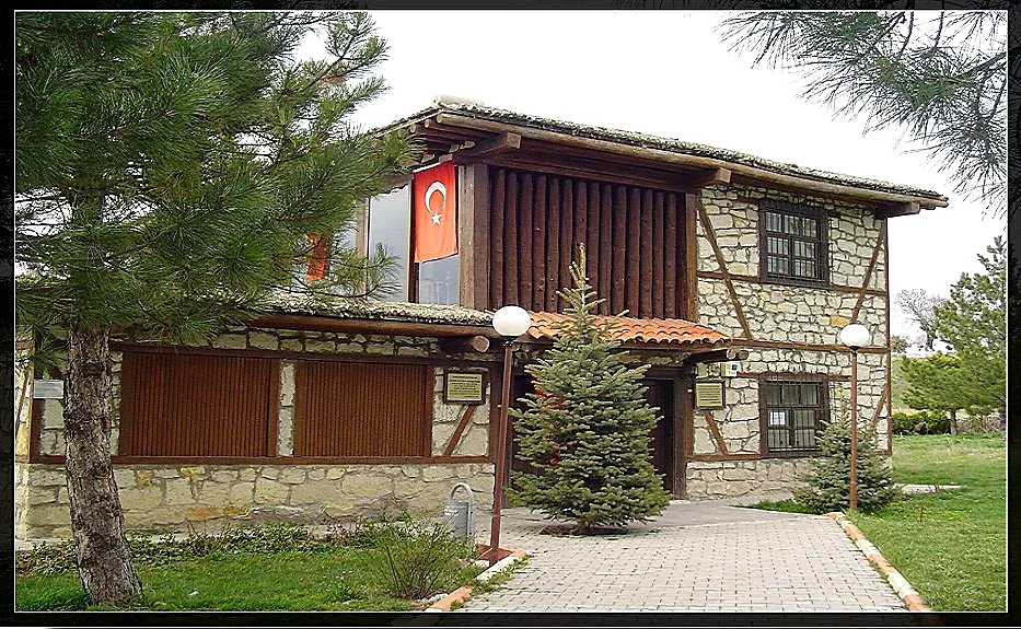 MUSEUM & CULTUREAtatürk HeadquartersThe house Mustafa Kemal Pasha used as headquarters during the War of Independence, rebuilt to its original form.
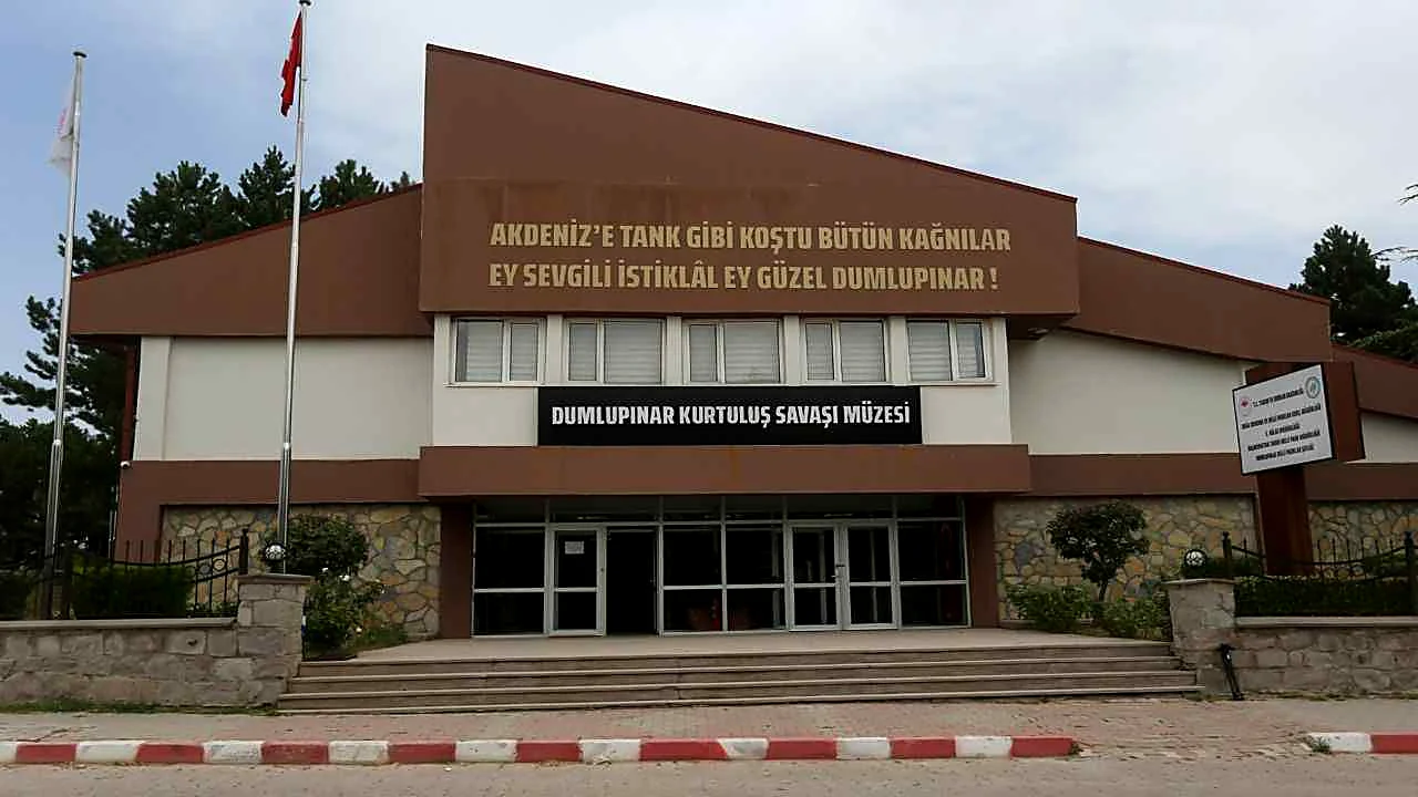 MUSEUMDumlupınar War of Independence MuseumA museum opened in 1997, displaying weapons, documents and photographs from the War of Independence.
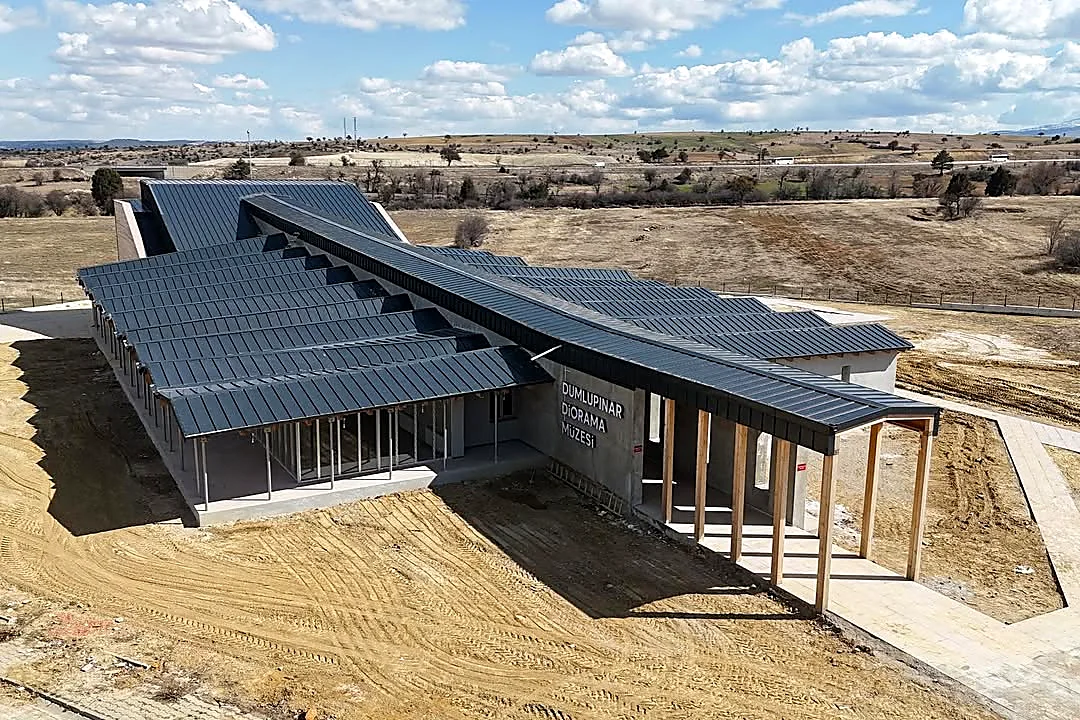 MUSEUMDumlupınar Diorama MuseumA museum opened on 30 August 2025 that recreates the Great Offensive and the Great Victory room by room.
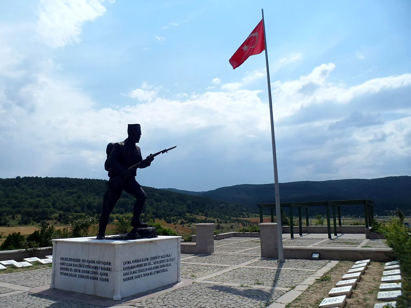 HERITAGEBüyük Aslıhanlar Three Hills MemorialA memorial opened in 1995 for the soldiers who fell at Büyük Aslıhanlar in the Battle of the Commander-in-Chief.
Scenes from Dumlupınar